From habitat magazine - issue 39, colourful person
When Matt Peacock created Tides Out Maps, he was creating a business from a deep love of the ocean.

“I loved being in the water when I was young, and more recently discovered scuba diving, kayaking and spearfishing. The more time I spent exploring our beautiful coastline the more my appreciation grew.”
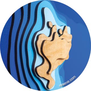
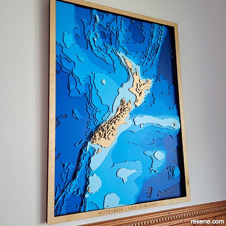
Combining an engineering background and a fascination with our waters, Matt started crafting these beautiful maps, reflecting the local coastline in a multitude of beautiful Resene blues, ranging from the light and bright Resene Sail through to the depths of Resene Space Cadet.
The idea for the maps was inspired by a company creating wood charts for some of the Great Lakes in the USA. “I was lucky enough to have access to a laser cutter through work so started experimenting with my own designs.” The first map Matt made was of his local – Waihi Beach. “It was about the size of my hand and was shaded using blue colouring pencils. We’ve grown a lot since then!”
The process has evolved since those early days where it could take months for Matt to complete a single design. “I’ve become a lot more efficient since then, developing systems to streamline the process, however the method is still inherently manual.”


Matt’s process starts with understanding his customer’s vision for their map. “Once I’ve got the location, I’ll import the appropriate dataset into a GIS mapping software program. The time-consuming part is converting the raw data into layered files that I send to our laser cutter.”
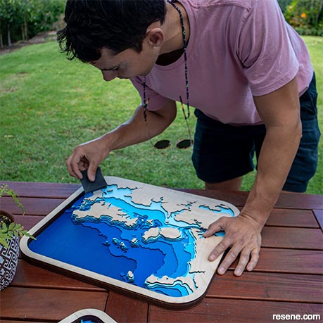
Matt starts each build by using a small roller to apply two coats of a predetermined selection of Resene paints to sheets of MDF wood. “I’ll apply a shade of blue that corresponds to the appropriate depth of the ocean.”
Large sheets of masking tape are applied to the painted wood to ensure the heat from the laser doesn’t cause the paint to burn. Once each sheet has been cut using the laser machine, Matt then stacks and glues the layers into the finished product.
Tides Out Maps’ inception started when Matt was experimenting with laser cutting his maps around five years ago, though the business became official two years ago. “Since then, as well as making local coastline maps, we’ve made international maps including Fiji, Samoa, Switzerland, France and Canada. We’d love to one day expand our range even further internationally.”
Matt’s maps often have a very personal touch to them. He says these are his favourite part of the job. “I always try to learn about the connection our customers have to the location of their map and the answer is usually fascinating! Often it’s a crazy adventure, like the couple who sailed their tiny lasers from Auckland to Paihia. Other times it’s a deep connection to a place, like a map of the Cook Strait we made for a man who had captained the Interislander ferry for almost three decades.
We can’t wait to see what other clever and colourful creations Matt will make with Resene paints! Find more of Matt’s work at www.tidesoutmaps.co.nz.
Search habitat magazine stories
Printed copies of habitat highlights are available from late March 2024 at Resene ColorShops and resellers, while stocks last. You can view back issues of habitat magazine online.
Specifiers:
If you have an idea, project or story that you think would suit habitat, we’d love to hear from you. Please drop us an email with your details and include photos if submitting a project.
Sign up for a DIY card and Save! Australia | New Zealand